In Class: Fault Finder
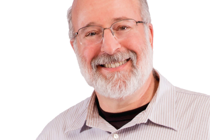 Geology professor Stephen Marshak. (Image by L. Brian Stauffer)
 I teach a graduate course on tectonics. I teach the undergraduate course in structural geology. I contribute to field courses. I teach an honors course on the future of the Earth’s resources. If I didn’t like teaching, I wouldn’t be doing this job. Teaching is, to me, the most relaxing part of the day.
For the course in structural geology, I take the students on a long-weekend trip up to Baraboo, Wis. The subject of the course is how mountains are built, how rocks fold and bend, what faults are and why they form, and basically the geometry and architecture of the Earth’s crust. I spend a lot of the time in the field having students make direct observations: drawing sketches of outcrops and the faces of quarries; and collecting measurements and data about the orientation of the rock layers and other features of the rock. As the day goes on, the students gradually learn what features to highlight and what features not to highlight on a sketch. I call this exercise “What a Geologist Sees.”
Students—especially urban students—are not used to thinking in 3-D. And they’re not used to visualizing complex shapes and figuring out what they mean. That’s what the structural geology course is about—trying to visualize and understand the Earth’s structure in three dimensions. Some of my students go on to become geotechnical engineers. They have to understand what’s under the ground or what’s behind a cliff to know how to design a road or a dam. Other students become geologists who work for energy companies, and they need to know what the three-dimensional structure is underground to know where to put an oil well or a gas well. And some become academics, looking at structures so they can understand the history of the planet—which is actually what I work on from a research standpoint.
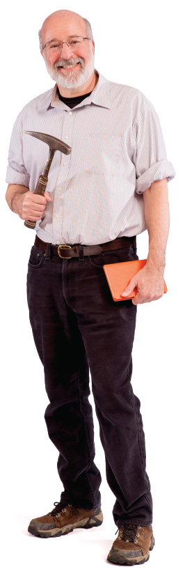
(Image by L. Brian Stauffer)
The School of Earth, Society & Environment was founded about eight years ago as an alliance between three departments: geology, geographic information, and atmospheric sciences and geography. We offer an interdisciplinary major in Earth, society and environmental sustainability.
The ESE major provides a foundation that allows them to study a variety of things—in history, in humanities, in science—but with the common theme that the work is related to aspects of the Earth’s system and issues of sustainability.
This semester, I’m teaching one of the ESE courses as an honors course—“The Future of Earth’s Resources.” Its subtitle is “Where Stuff Comes From.” Right now, we’re talking about coal: how it forms, and what special conditions occurred hundreds of millions of years ago on Earth that led to Illinois being a place that’s underlain by vast coal reserves. How is coal mined? What are the dangers? What is the consequence of burning coal in terms of pollutants and carbon dioxide? We use these topics as an opportunity for students to see the interconnectivity of the many aspects of the Earth’s geological system, and to understand how the use of resources on a daily basis requires a lot of choices to be made at many levels.
Edited and condensed from an interview conducted on Feb. 18, 2016.